Off hand, I'd say these are names of places which were given a description of a former Natural World which no longer exists in the San Jacinto Mountains.
 |
| Photo: Mine |
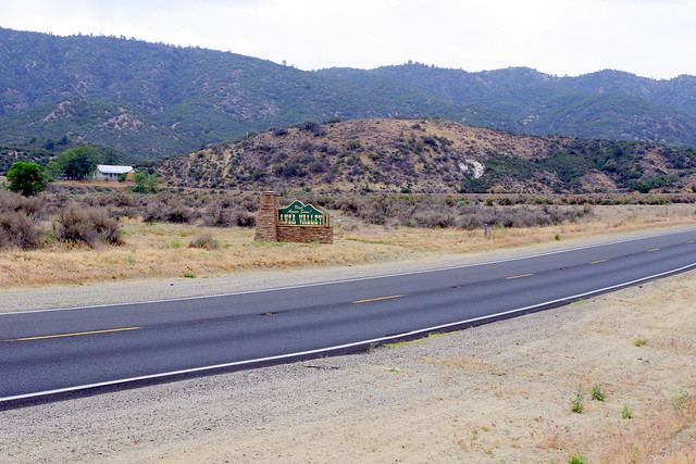
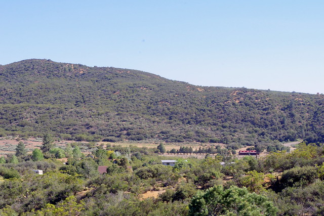
Well, this is going to be a supplement to my journey following the trek of Juan Bautista de Anza and my obsession with wondering what the natural world here in the San Jacinto Mountains most likely would have been like and the clues I've discovered over the years. This photo location is at the mouth of Hamilton Creek where Hwy 371 crosses over it on it's way to Palm Desert or Idyllwild. I'll be taking you back up the canyon as well as out into the Bajada or Alluvial Plains into Anza Valley.
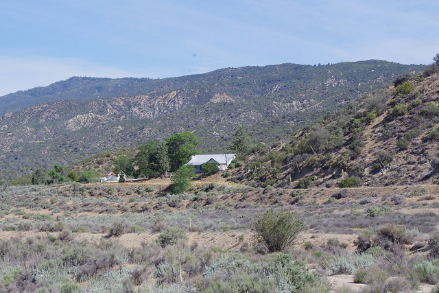 |
| photo: Mine Former Mike Dunn Ranch now owned by Agri-Empire. This visual angel is over to the right of the Hamilton Creek sign. |
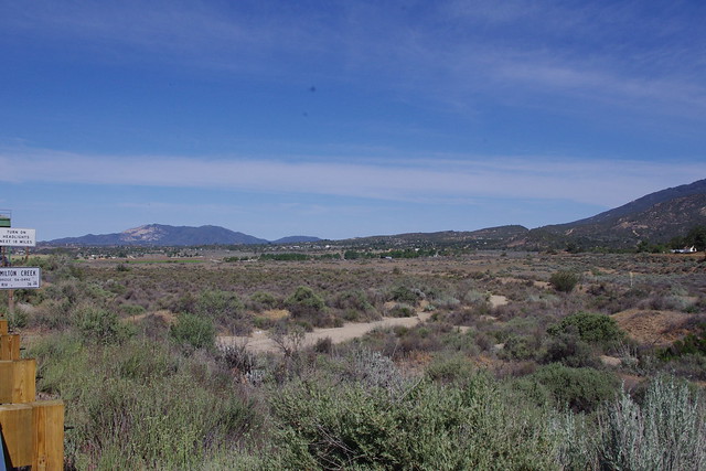 |
| photo: Mine Main creek flood plain channel running due west towards Kirby Road |
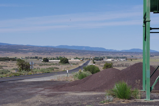 |
| photo: Mine Cal-Trans gravel bunker just west of the bridge |
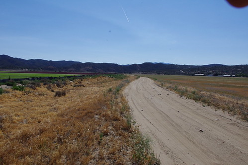 |
| photo: Mine Flood channel here was created by Agri-Empire to Kirby Road where flooding is directed now. |
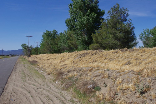 |
| photo: Mine Large berm built by the resident to block all future floods which may come through. |
 |
| image: Robert Terwilliger"Laguna del Principe" is located in the middle of where it says, Terwilliger Valley. |
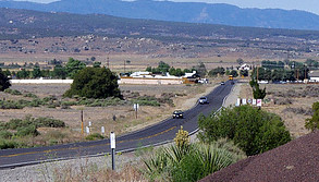 |
| photo: Mine (click to enlarge full resolution image) |
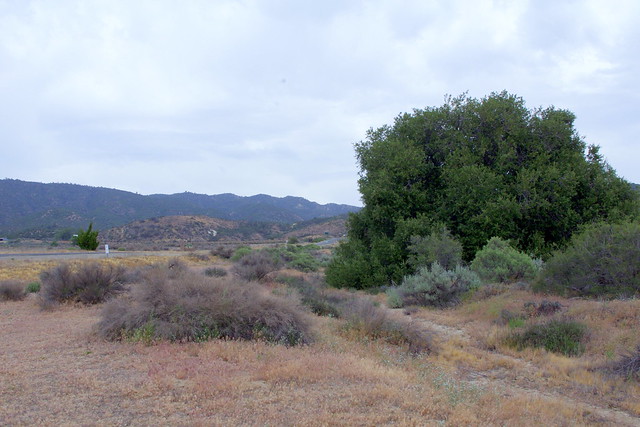 |
| photo: Mine Looking back upstream in the wash towards Hwy 371 and towards the Interior Live Oak and back towards Hamilton Creek bridge |
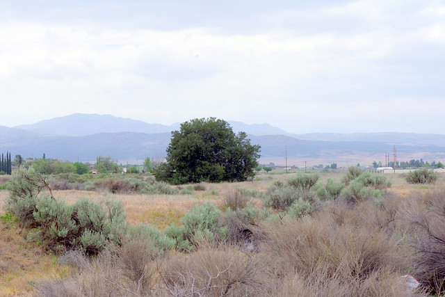 |
| photo: Mine Second Interior Live Oak tree further down this formerly major Hamilton Creek bed which ran towards Terwilliger at a diagonal |
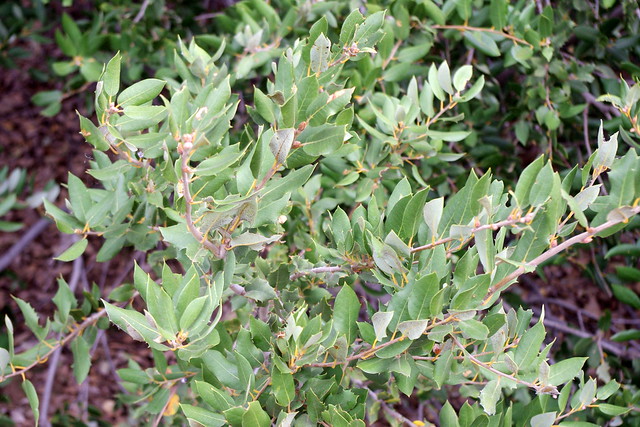 |
| photo: Mine Canyon Live Oak Leaves from the first tree |
 |
| photo: Mine |
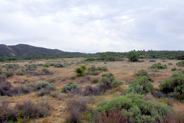
Viewing former creekbed on opposite side of Hwy 371 towards the old Mike Dunn Ranch homestead. From this point at the old Interior Live Oak there merges another Bajada or Alluvial Fan from the direction of Burnt Valley Road. If you know how to navigate with Google Earth , the viewing of this Bajada floodplain is incredible and you can see detailed outlines of the former creekbed route for which the road department diverted.
 |
| photo: Mine |
This view is facing east from behind the old Interior Live Oak along the Hwy 371 and looking up the throat of another valley for which Burnt Valley Road switch backs on it's southern edge. This road would be on the right hand side of this picture, though hidden by chaparral. At the very top of this canyon drainage is my old place and the property across the street which I've written about previously (Here)
~~~~~~~~~~~~~~~~~~~~~~~~~~~~~~~~~
Old Forest Road
 |
| image by Mary Ann Kiger Parry Pinyon (Pinus quadrafolia) Just a quarter mile up on Hill Street |
~~~~~~~~~~~~~~~~~~~~~~~~~~~~~~~~~~
Burnt Valley
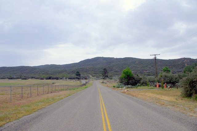 |
| photo: Mine Burnt Valley area and Burnt Valley Rd |
 |
| photo: Mine This is a stump and tree trunk log of an Incense Cedar (Calocedrus decurrens) killed by forest fire |
1) Western edge of Burnt Valley & Log Cabin
2) Center of Burnt Valley where Road turns sharply by hug Jeffrey Pine
3) Back eastern end of Burnt Valley where it meets Table Mountain and ridge line where Pacific Crest Trail runs along
 |
| photo: Mine Plant Forensics in Discovering a Climate's Ancient Past |
I'm posting this to show a comparison of the area around the still in existence CCC Log Cabin refurbished by present owner who I met this past Spring and below here an old historical photograph of the same area when it was a major Civilian Conservation Corp Camp. Now just behind that Log Cabin and small ridge [earthquake fault line ridge] is where I found the only known very old Utah Service Berry tree I first saw back in the early 1980s. I literally over several years scoured adjacent canyons and washes looking for another specimen and found none. Before you question where I got time to go up there, it's easy, I simply lived a couple properties up from that Log Cabin on Burnt Valley Road. And the ancient charred stumps in my post link below of Santa Rosa Mountain BELOW Hwy 74, I also found charred pine stumps on my land which told me that even in history my property had burned. Also found old Manzanita charred stumps as well on my property. This area has since been stripped clean by present property owner.
 |
| image from Hamilton Museum |
Wouldn't you love to have an archived Way-Back Machine and pan around for other clues ? This is Burnt Valley Road looking west from where the road sharply turns at the old Red Skelton Horse Ranch with the large Jeffrey Pine at the corner, but out of this shot. If you pan over to the upper hillside on the upper left corner of this photo, you'll see painted white boulders and other rocks put there to spell out Camp Anza. These white rocks are still there. I know because in my obsession for finding clues and another Utah Service Berry, I stumbled across them and at the time not knowing what they were. The old original Log Cabin is down on the left hand side below those white rocks.
~~~~~~~~~~~~~~~~~~~~~~~~~~~~~~~~~~
Alder Canyon
+Alder+Canyon+below+Combs+Peak.jpg) |
| topomaps.com |
What can I say, this is yet just one of those seemingly out of place names in an otherwise dry forbidding looking country. The name is of a canyon below what used to be a once heavily forested landscape. But like the northern and eastern Anza Valley areas, this area is quite different as well. Alders remind one of an ecosystem that is exceptionally wet, especially in Southern California and even more so on the steep desert side of a mountain above Coyote Canyon. This area of mountains are the Buck Snorts and specifically Combs Peak.
.JPG) |
| photo: summitpost.org |
This is what is left of the forests of Combs Peak. Even before the Coyote Fire of 2003, what existed here before the fire was merely a remnant of it's former glory of historical times past like when Juan Bautista de Anza past through Coyote Canyon and looked up. Still those Alder Trees ? Where did the the seed from their ancestors come from ? Were there also other canyons with these at one time, but later died out when climate changed ? Questions, questions and more questions that most never think of asking them when out and about. Boy, 2003 was a crappy year for fires. I doubt many readers will remember this one, with Cedar Fire on the brain. The area is desolate by human standards and rarely visited by many. It's also another one of those landmarks that travelers never think to give any notice to. Hopefully people will start asking more questions now if this post means anything important at all. Look below here.One last link. This is an online book to a publication which can be found from what I understand at the local Anza Feed Store. It's called Around Anza Valley by Margaret Wellman Jaenke. I want you to look specifically at pages 21 thru 23 which reveals how people made a living in those days. Aside from Cattle Ranching which took out much of the bottomland forests of this region, hunting and fur trapping were huge business enterprises people made a living at in those days. These are just a handful of photographs from a time when such photography was rarer than today. And I'm sure not every Fur Trapping trader is listed, photographed and documented here. But look at the wealth of animals here hunted and killed for their fur. How many of you know of Ringtailed Cat being native to Anza area ? Even the animal chart of the Chaparral Institute didn't list is as I remember. From the photos you can see there were many. I have only in my life seen one and it was at 4:00 a.m. in the morning driving through Burnt Valley on my way to work in El Centro California. The point is, such a wealth and richness of animal life could ONLY have been supported & possible from a much more heavily vegetated ecosystem to allow them to thrive so. Read the link below and pay close attention to photos on pages 21 thru 23:
Around Anza Valley by Margaret Wellman
Recently, the San Diego Union carried a bad piece on fire ecology which did not match what actually goes on in Nature. The work of some Scientific community leaders tend to push an ideological driven policy rather than proper land management. The facts given by the main expert on the latest Mountain fire area having not burned in over 130 years were grossly inaccurate and environmental observations by many don't even reflect the reality of the natural world up in the high country. Here was my take on the events and commentary which frankly many won't agree with, but I've simply been around this area much too long to know otherwise: (keep in mind, this is only my personal opinion based on what I know and logical observations over 24 years in these mountains)
2013 Mountain Fire: Utilizing a Tragic Event to Evangelize Bad Ideologically Driven Science
Ahhhh...so that's the old Mike Dunn ranch! I never knew that. Yes, people go zipping by and pass me ALL the time! Can't wait to read more!
ReplyDeletePoor Mike Dunn had to sell it to Agri-Empire, just to cover his legal expenses while fighting the BLM. As you know - Dunn and Samuelson built a 15-mile dirt road from Hwy 74/Pinyon Pines all the way to Palm Springs. They did this undisturbed from 1966 - until the BLM planes finally saw the road, while attempting to count Bighorn Sheep in 1968.
DeleteOh, yes, I remember those rains also! We had flooding here in the desert in 1976, which took out part of the Living Desert at the base of Deep Canyon. I remember because we bought our house in 1975. In 1979, our home was flooded in a tropical storm. I had a 1 year old and I was pregnant and HOME ALONE (hubby was in Los Angeles). I grabbed my purse, our German shepherd, and my daughter (of course), headed out in my VW van, and made it to a nearby bridge, where I was stranded. Some WONDERFUL firemen came by and let us stay in their house overnight until the waters went down...Thereafter, every summer when it rained, I'd run around the house and pick up all the shoes! (Silly woman!)
ReplyDeleteFascinating article! I learned so much about Anza. We took our 3rd graders to the CVWD (Coachella Valley Water District) one time and I sat there entranced by their maps of the Indian watering holes in Anza. There were a LOT of them!
ReplyDeleteI'm going to have to start documenting more of these places on my blog...I certainly am not about to go off hiking ALONE, but I'll do what I can!
Cheryl Ann
In most of my posts i do try and give detailed references for people to observe for themselves and without much difficulty. Although I will admit to you that I have done a fair amount of Bushwhacking off trail and that is tough. Still, if everyone got together and cooperated, i really believe they could make positive changes and a turn around. Unfortunately, under the present system, we don't necessarily have a cooperative bunch of human beings on Earth. For all the supposed scientific understandings available today, science CANNOT make human beings behave and pursue the right course in life. Without the change to personality, it won't happen.
Delete