What is a Bajada (or Alluvial Fan) ? 😏
 |
| Image by Walter Meayers Edwards, NationalGeographic |
 |
| Image - Wing-Chi Poon |
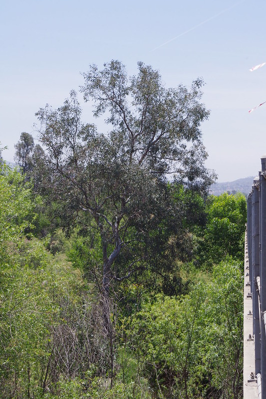
You've seen them everywhere, especially if you've traveled throughout the deserts in the southwest. This one above is from the Death Valley area. But if not, then somewhere you have observed mini bajadas or alluvial fans like the one here on the right taken by photographer, Wing-Chi Poon. You can tell it's a miniature alluvial fan because some unknown visitor who didn't appreciate the sediment as an alluvial fan left their footprints there. Ever wonder how certain physical phenomena happen when they don't happen anywhere else ? Generally in the past when I was younger and more curious about natural phenomena I'd stumble upon, I was usually by myself alone with my own thoughts. I generally would be curious about how things in nature worked and replicating those observations for a beneficial purpose. Take clouds for example.
 |
| Image - GS Land Survey |
 |
| Image - Steve Coder |
Ever look up into a prefert crystal clear blue sky on a calm day and see that one single little whisp of cloud and ask yourself, "What's making that one tiny cloud appear and nowhere else?" or "Why right exactly there in that spot?" Then question leads to other questions like what conditions make clouds form in the first place ??? Then you start looking around at the ground or landscape underneath that cloud looking for any physical objects that would or could influence it's formation (like orographic lift, etc), but you just can't identify anything. Although as a kid in the 1960s plants were my main interest early on. But not so much later my interest later involved a fascination with countless anomalous properties involving water. Not only such things as cloud formation, but other things like water percolation deep into the soil, also the reserve known as Capillary action or water's ability at upward movement, etc. But why ??? Because of something I had read about what we would today call 'primitive earth' found in all places, Genesis 2:5-6"No bush of the field was yet on the earth and no vegetation of the field had begun sprouting, because Jehovah God had not made it rain on the earth and there was no man to cultivate the ground. 6 But a mist would go up from the earth, and it watered the entire surface of the ground."

Now for all you Humanists out there reading this atart rolling your eyes 👀, just roll with me here. 😁 I am not a young Earth creationist nor do I have any interest in promoting Christendom's version of creationism. But as a kid who listen to my dad read the story, this particular anomaly intrigued me. I mean it seemed so unnatural and hard to believe. What I have actually concluded about that text found at verses 5 to 6 of Genesis 2 is that it is explaining conditions on an early earth long before humans appeared on the scene. In fact it said that this was the scene before man. And that makes sense. From a secular perspective, how do most Scientists describe an early earth ??? It's a place of extremes long before Darwin's mythical warm little pond showed up. No type of life could live there. I'm very fascinated with early earth experiments. As a child and later in high school as a biology student, I followed the work of the Stanley Miller& Harold Urey experiments of creating primitive earth with a sterile environment with nothing ore than various chemicals, minerals, water and an electrical arc charging the tight container's atmosphere to simulate energy from Thunderstorms or volcanoes, etc. The obtained a few organic compounds for building blocks for life, but further exposure to the electrical arc destroyed these. They later built a trap to protect the organic compunds, but that was it. Early Earth was most certainly a dangerous place for life.
 |
| Stock Image - Science Photo Library |
Later other early earth researchers like Gerald Joyce and Jack Szostak who likewise conducted their own experiments with a kind of mythical RNA World they claim started life. They have the vision of primordial soups as a sort of Wizard's potion in their experiments. Because Gerald Joyce and Jack Szostak have often Lab created their own particular RNA ribozyme they engineered via “test tube evolution” enzymes for a purposed outcome. Other Origin of Life researchers here in Europe have used computer simulations which have provided a sort of virtual molecular laboratory and claiming that withintheir virtual computer world they observed information strings which began to replicate quickly and efficiently as expected. However that’s only because they programmed the computer with their own intelligence and bias. And that's where I have to stop and ask questions. I'm all for earth earth experiments and I have no doubt any number of chemical elements and forces of physics were involved. No question. But in any and all these experiments what we observe is not something in a wild experiment that has been observed in real time, but rather recreated in the laboratory the environmental conditions that they believe existed early in the earth’s history. In these experiments, these origin of life Scientists referenced above have manufactured some of these molecules found in living things. So this just begs the question, "If the chemicals in their experiment truly represent the earth’s early primitive environment and the Lab manufactured molecules they produced represent the building blocks of life, whom or what do Stanley Miller, Harold Urey, Gerald Joyce or Jack Szostak who performed all these experiments represent ??? Do these scientists represent blind undirected forces of chance without purpose or intent or do they respresent an intelligent entity ??? Science today does not like being questioned and they hate inconvenient truth when it comes to this subject. You see for me, the Genesis 2 verse five represents a controlled environment where life develops without hindrance for countless 1000s of years, much the above controlled lab conditions employed by all the OOL Researchers. See, I'm kool with all that, my only problem is that they try and pass their results off as blind undirected evolution of first life as a 'happy chemical accident' (Dawkins) without purpose or intent in that fabled 'warm little pond' (Darwin).

 |
| Photo images by David Genney |
The above images are a hillside forest of Scots Pine and Birch in Scotland. The picture is from a mycorrhizal eye-view of a Scottish pine woodland. The lower part of the image is a cross-section of the tight network of ectomycorrhizal root tips and their exploratory fungi This type of mycorrhizal network takes over the role of explorer, nutrient gatherer and water hydration infrastructure. Take a close look at this illustration below from Bert Wilson's website for Las Pilitas Native Plant Nursery. Bert did more education than all the other Native Plant organizations and non-profit environmental groups combined. He very much understood the underground network or grid which keeps all ecosystems flowing and thiving. |
| Animated Illustration - Bert Wilson - Las Pilatas Nursery |
BTW, I'm not the only one who has asked questions to myself in wonderment over something observed like a single cloud in blue sky. Remember that whisp of cloud photo and question posed ??? It orignally comes from the U.S. Geological Survey website. The title of the page is:
USGA: "The Little Cloud That Could ... But Why?"
 |
Image by NASA, ASTER
Alluvial Fan in Taklimakan Desert,
XinJiang Province, China |
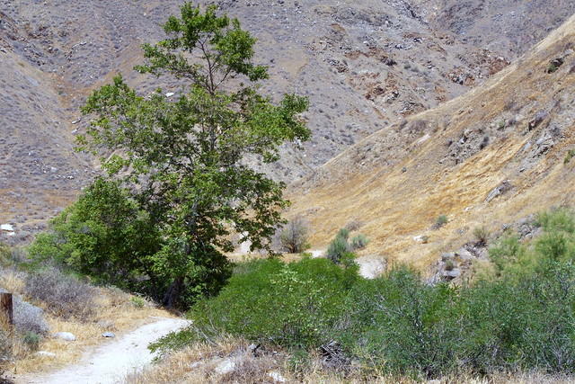
So now let's focus on the hydrology of Bajadas and practical applications we can derive in creating new ecosystems and wildlife habitats. My first interest started as farback as 1980 during a heavy rainy period known as El Nino. You should know that this same observed phenomena from Bajadas in vegetation establishment can be incorporated in laying the foundation for any type of landscape development you wish to install, no matter what theme you choose to employ. The photo above is a vast alluvial fan blossoms across the desolate landscape between the Kunlun and Altun mountain ranges that form the southern border of the Taklimakan Desert in China’s XinJiang Province. Take note of the right side is the active part of the alluvial fan or bajada, and the clue is what appears to be the blue reflection from water currently flowing in the many small branching streams. This beautifully illustrates and answers another question of mine. I'm originally from southern California, have you ever see a massive boulder strewn dry miles wide expansive floodplain in up San Bernadino or Riverside County areas and wondered how a giant specimen of a water loving California Sycamore or Fremont Cottonwood got there when that tree is a mile or more from any main river or creek channel ??? Me too. It has a lot has to do with a wetter than normal rainy season in facilitating establishment and root infrastructure development to the water table. We call these El nino events. Alluvial Fans or Bajadas are also known for their changing direction or meandering back and forth with several stream flows. It is during these times seed germination and establishment can take place where a watercourse was never permanent. Amazingly this rare phenomena can be replicated in any restoration project and urban landscape where water is rare, precious and expensive. And done during any year. That's what I did at my mother's place with six 6 inch high California Sycamore seedings from gallon containers which were planted in September 2005 which grew over 20' tall by June 2007. Let's take a real quick short lesson here, shall we ??? Look below.

 |
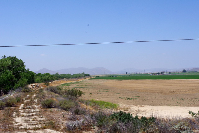
| Image of I-215 freeway in Devore - Google Earth |
 |
|
Here is an example photo taken from Google Earth along the Interstate 215 freeway in Devore California. This is a normal dry hot (100+ Fahrenheit or 40+ Celsius) and often times exposed windy area north of San Bernadino. The geographical habitat is an expansive alluvial floodplain with fierce hot bone dry winds from the infamous Santa Ana Winds. Most of the vegtation type is low growing sage scrub or chaparral and grasses with annual wildflowers. But in the photo above do you notice the small sycamore right smack in the middle of all this ??? Have you ever wondered, how did such a water loving tree get here and how does it still survive now ??? A further question is how does such a sapling eventually turn into a giant multi-trunked specimen like the one here above and to the right in an alluvial woodland ??? If you figure out the how and why, you'll be able to establish anything in a restoration project or urban landscape layout and have it thrive for life.
Definition of an Alluvial Fan or Bajada: http://en.wikipedia.org
"An alluvial fan is a fan- or cone-shaped deposit of sediment crossed and built up by streams. If a fan is built up by debris flows it is properly called a debris cone or colluvial fan. These flows come from a single point source at the apex of the fan, and over time move to occupy many positions on the fan surface. Fans are typically found where a canyon draining from mountainous terrain emerges out onto a flatter plain, and especially along fault-bounded mountain fronts. A convergence of neighboring alluvial fans into a single apron of deposits against a slope is called a bajada, or compound alluvial fan."
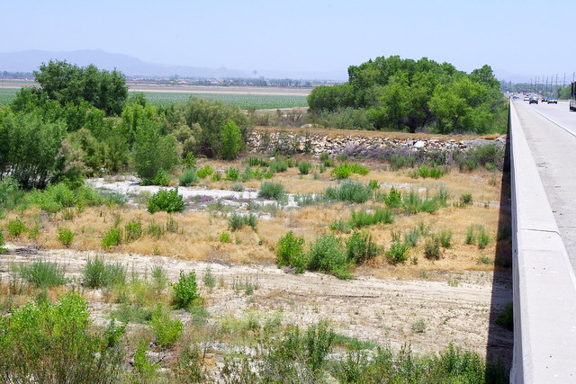
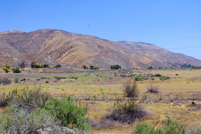
The above definition by Wiki aptly describes what most around the world, but especially those in drier locations have observed at one time or another with regards geologic features which emerge from most mountain canyons. But it's this interesting habit of main channel oscillating back and forth like a slow moving pendulum depending on heavier flow patterns brought about by a wetter than normal rainy period which creates these interesting plant neighbours. But there have always been a number of questions that plagued my mind over the years. For the purpose of simplicity (my wife says I write too much text), let's restrict this post to Southern California and in particular Riverside County. There are several Bajada land formations which define most of the inland empire cities from San Bernardino to Los Angeles. Most people don't even realize they are living on many of these alluvial fans or flood plains. Many while commuting never give them any thought or second look. Most river or stream beds have been straightened and channelized for commercial convenience sake. But there are several tree establishment puzzles that took place decades ago which question beg. How did such large old growth Sycamores and Cottonwoods become so well established when they appear to be so far away from the stream bed channel ??? From what I always knew of such riparian species, they need generous amounts of water to survive the early years of their life, so what gives with these examples on dry locations ? Cyclic wet periods are extremely key to establishment of all large trees and should be studied as such and El Nino events remembered not for their destructive potential, but for habitat establishments in the wild. |
| Image From Google Earth |
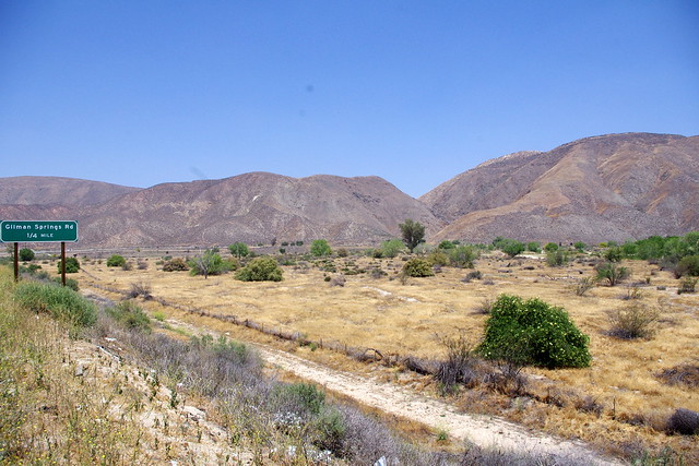
This next photo below is of a Bajada or Alluvial Fan which emerges from what I thought was once labeled as Portrero Wash or Creek at the bridge on Gilman Hot Springs Rd, but the sign is now removed. It's source is the city regions of Beaumont and Banning CA and in particular the Sun Lakes Country Club and Golf Course. As you may see from the Google Satellite map the Alluvial Fan was at one time much wider than now. It is restricted by an eastern boulder, cobblestone and sand barrier or Levee on the east which protects the Church of Scientology's Military Compound and to the western side is the raised easement of Hwy 79. During the 1983 floods a large pond or small lake was formed just directly west of where the Portreo Creek flows under Gilman Hot Springs Road below the junction of Hqy 79 & Gilamn Hot Springs Road. The water flow our of the mouth of the canyon fan our evenly and the entire alluvial fan was like a complete even flow with no visible serparate stream channeling in the beginning. This persisted all year long. What is left can be seen with several lines of stream channels which fan out at massive flood stages which are characteristic of most alluvial fans, and hence the name. It also became completely vegetated with mainly Willows and Cottonwoods and a few California Sycamores. So dense and complete that the entire Bajada or Alluvial Fan was a solid green. Here is a view of it today from Portrero Creek brdge from Gilman Hot Springs Road. Take note that only a few main large trees were fortunate enough to survive creating the spread out riparian woodland.
 |
| Image from Google Earth |
 |
| Photo Credit: Mine |
This photo is looking directly north on Hwy 79 leaving the Hemet/San Jacinto Valley heading north through Lamb's Canyon to it's destination at city of Beaumont. You can see the canyon at top center where the force of water over the years has created this massive Bajada. Not sure why the name of this Portrero creek in the Canyon was removed, but it once had a name on the bridge which crosses over it on Gilman Springs Rd which is actually the old original Hwy 79 before the political realignment. While this alluvial fan is fairly dry looking now, it always wasn't so, especially between the wet years of 1987 thru 1983. Take a look below at some surround city and town historical rain totals. Keep this in mind as it is important.
 |
| Image - hvrc.com |
Hemet & San Jacinto Valley looking north towards the foothills of the San Bernadino Mountains. Porptrero Creek and the alluvial fan which ran all year would be over on the far right of the photo.
Hemet California
Historical Annual Rain Totals of a wetter period
1978 - 26.60 inches
1979 - 13.47 inches
1980 - 18.86 inches
1981 - 08.29 inches
1982 - 16.90 inches
1983 - 21.03 inches
Riverside California
Historical Annual Rainfall Totals Same Period
1978 - 12.92 inches
1979 - 12.87 inches
1980 - 15.77 inches
1981 - 08.10 inches
1982 - 15.07 inches
1983 - 22.91 inches
Idyllwild Calfornia
Historical annual Rainfall same period as above
1978 - 46.99 inches
1979 - 29.62 inches
1980 - 45.65 inches
1981 - 15.81 inches
1982 - 49.47 inches
1983 - 56.87 inches
|
All these figures above are of the rainfall averages for the wetter "El Nino" years. That was an amazing time period of wet. Too bad the officials didn't take advantage of it to rebuild several important ecosystems.
"Flooding in the vicinity of State Street (Highway 74) and Ramona Expressway, February 21, 1980, as a result of the breach of the San Jacinto River Levee."
Again, keep in mind please and burn into your memory if you can, this six year heavier than normal time frame which has valuable learning potential aside from destructive forces which often are the result of human poor planning anyway.
 |
Photo Mine
Major construction of San Jacinto River
bridge on Hwy 79 in Riverside County 1994 |
I've given some averages here of three locations which give an average perspective of the overall rainfall to western Riverside County. For those folks who remember this wetter rainy period of time, this was during a significant "El Nino" event. For many, it was the first time the term really came to life and had meaning. It was a major time of bridge washouts and road closures. As you can see, the closer to mountains and foothills, rainfall amounts are far more significant, than the interior valleys. Even still, rainfall for all of southern California everywhere was greater than in times past or for that matter ever since. Because of the greater rainfall during these six winters, ground water saturation was at it's greatest and summer monsoonal thunderstorm build up was vastly improved during this period as a result of greater electrical conductivity between the negatively charged ground and positive charged atmosphere. Previously in a couple of earlier posts, I have alluded to the anomalous weather pattern of isolated thunder storm build up in and around Anza which is incredibly easy to spot and observe during periods of less winter rainfall which creates less ground surface conductivity with the exception of specific heavy old growth vegetated areas where good healthy hydraulic lift and redistribution takes place bringing moisture up to the surface from deeper soil layers and for which cloud formation and/or Thunderstorm development is much greater as a result. During these wetter winter periods, because the ground water table is very high and saturation is so complete, such storm development was never an isolated incident. In fact it was so complete that development was common in those days from the deserts all the way to the Ortega Mountains above Lake Elsinore. Now this is where noticeable heavy vegetation increase could be observed in most alluvial fans, but I'll focus here only on the one originating from the mouth of that Portrero Creek for which the drainage came from the higher elevations of Banning and Beaumont California. There were several times when the Gilman Hot Springs Rd had closures. During this heavy rainfall period, water ran completely over the entire alluvial fan all year long in the wettest of these years. Thousands of Willows, Cottonwoods and Sycamore trees created a triangular carpet of bright green all the way to the San Jacinto River main channel to the south from the Gilman Springs Rd bridge.
 |
| Photo: Mine |
This photograph is a closer view of the Portreo Creek Alluvial Fan which emerges from the mouth of that canyon straight ahead gradually fanning out all the way down to the San Jacinto River from the Hwy 79 Bridge over the San Jacinto River. Prior to this greener look above which resulted from this heavier rainfall period, there were only a couple of large Cottonwoods and a single large California Sycamore specimen for which seemed always somehow out of place to me back then because all the rest of the alluvial material was like dry desert wash, there was no riparian green as you see it presently. At the end period of theEl Niño Event, the entire alluvial fan or Bajada was a complete mass of green as 1000s and 1000s of young riparian seedlings competed for space. Water flowed over this entire area for a few years thereafter. Now as you see, natural forces of the drier hotter climate have allowed only the most successful to have made a permanent place in this newer riparian ecosystem. Again, before the rains, only a dozen large old growth California Sycamores and Fremont existed on this otherwise dry rocky almost barren Desert Bajada. This greener scenario was more like it was when Juan Bautista de Anza journeyed through Hemet Valley and wrote about it's flora and fauna, but on a much grander scale than this example which is still greatly restricted as compared to times prior to European settlement.
 |
| photo: Mine |
This is looking directly to the east on the Hwy 79 bridge looking east towards the actual town of San Jacinto and the mountains beyond which bare the same name. This concrete barrier was created when the Hwy 79 bridge over the San Jacinto River was built in 1994. Traffic was diverted east towards the city of San Jacinto via the Ramona Expressway to State Street and north across a now replaced Iron Truss Bridge to Gilman Hot Springs Rd and then back west again to Hwy 79. In those early days Hwy 79 wash nothing more than a giant flood plain wash and when flooded, closures were common.
 |
| Photo: Mine |
This shot is on the complete opposite side from the one above it looking west towards a normally dry lake bed called Mystic Lake, so named because of it's often times appearance and then disappearance depending on the amount of water flowing down the San Jacinto River which drains off the San Jacinto Mountains on the eastern side of Hemet Valley. The river itself runs through Lakeview and Nuevo making it's end at Lake Elsinore which also filled completely during this flooding rainfall period between 1978 to 1983. Even Lakeview itself had numerous shallow lakes giving viewers an historical perspective of what this region was as a massive riparian wetlands for which Juan Bautista de Anza first wrote about in his journal or diary. I first encountered this diary from the Riverside County Library as it was recommended to me by a Forester up in Idyllwild in 1981. One passage Anza wrote about was when ascending Bautista Canyon from Anza Valley to the Hemet Valley. He saw a massive bright colouration on the valley floor of solid white and thought it was snow. Mind you, he and his troops had spent all winter in and around Anza before hitting Valle Vista east of Hemet in March the same year. When he arrived on the valley floor at what is now the city of San Jacinto and west to the area of Mystic Lake, he found that the white colour he saw up in the higher elevations were nothing more than masses of wetland habitat birds of various kinds. Mostly white Snow Geese. Almost hard to believe such great quantities of wildlife once existed.
 |
| Photo: Mine |
This shot is on the same north end of the bridge looking south, not just at traffic, but down into the River bottom. The river itself is channeled as usual, but the bridge extends a mile further south above the flat bottom landscape. This is because when at full flood stage, the earthen channel levees often disintegrate and those fields south of here turn into massive shallow lakes, the type that would have supported huge vast Riparian Cottonwood and Sycamore Forest woodlands which would have successfully even withstood drier periods as the water table here has always been close to the surface. I'll have later posts on that.
 |
| Photo: Mine |
View looking in the direction of the Scientology Compound and the mature Cottonwood trees well established which had not existed prior to the flooding period.
 |
| Photo Credit: Mine |
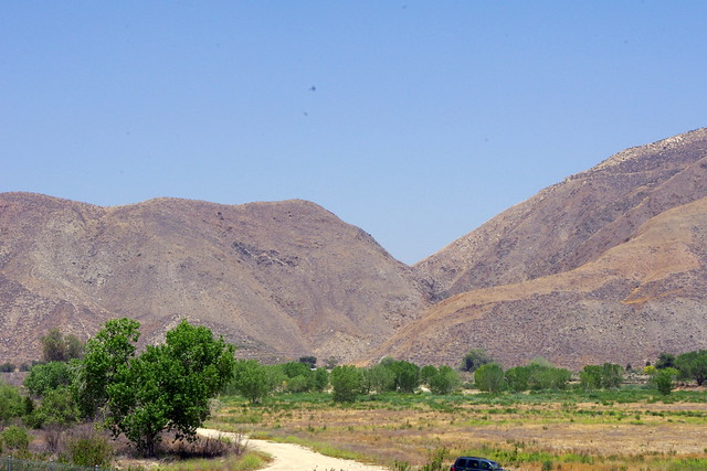
This view of the Bajada from Hwy 79 eastward is near the Jct of Hwy 79 & Gilman Springs Road. During the massive flooding stages pouring out from points north in Beaumont which has records of over 30+ inches of annual rainfall at times, the mass of water fanned out completely all across the triangular bajada like some giant river delta. Even curving around this direction here. The Trees never really sprouted much on this side away from the main channel, but those that did, didn't linger long, a few years at best and dwarfed or stunted. A small lake did form at the left of this photo, but dried up or percolated into the porous ground in little less than a year. Prior to Hwy 79, water spread out over the entire plain to the west. Such land of course has been consumed by Agricultural Ventures, so any original riparian forests would have been eliminated in favour of what seemed at the time more profitable usage of such valuable nutrient rich landscape.
 |
| Photo Credit: Mine |
 |
| Photo Credit: Mine |
 |
| photo: Mine |
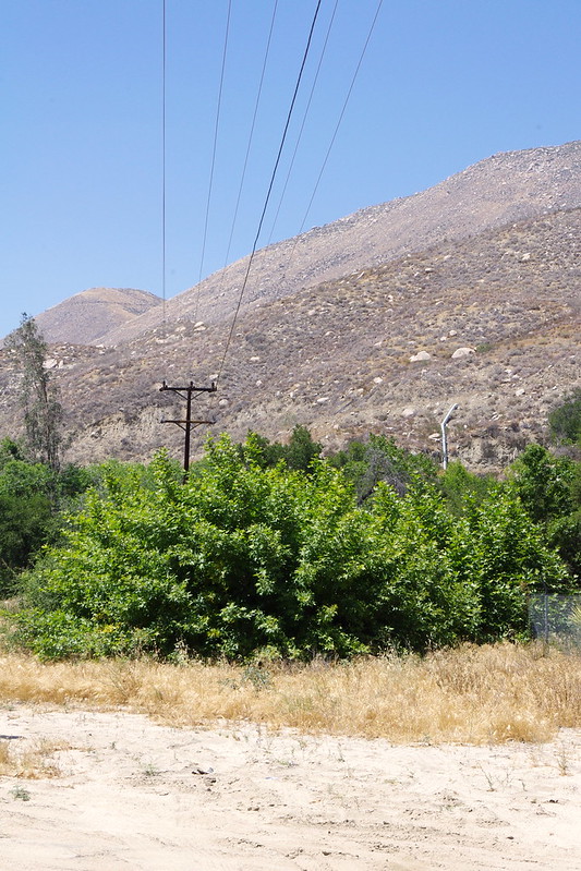
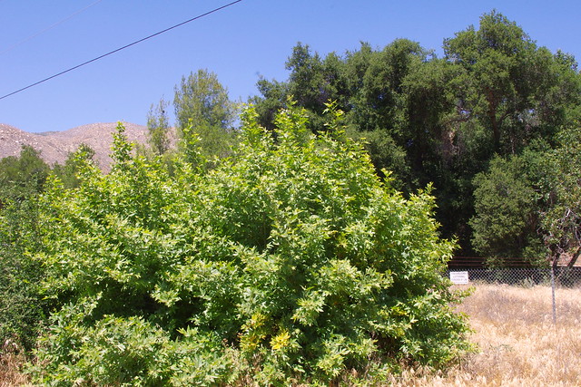
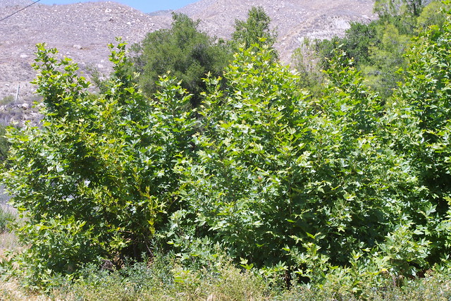
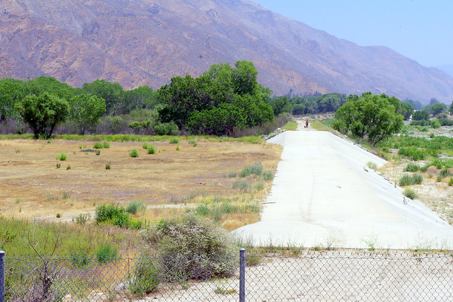
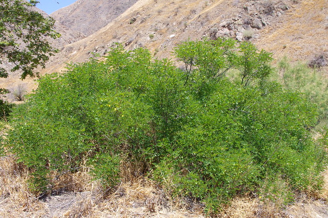
The top photo here is taken from the Gilman Springs Rd bridge looking north up the throat of the Canyon and Portrero Creek. During the yearly rushing of water through here for a few years, cars were always parked here during the hot summer months and hikers and bathers would make their way up this canyon to pristine water holes and waterfalls. The region was leased up stream by a private country club who always had Security Guards kicking people out or arresting them. There was always controversy about this in the Press Enterprise which is the official Riverside Co newspaper. The bottom photo is of a small tree-like shrub called False Indigo Bush (Amorpha californica), which previously I personally had only seen from Santa Rosa Indian Reservation eastwards through the Santa Rosa Mountain range. The last photo is simply a close up of the compound leaf which is similar to Black & New Mexico Locust which I have written about before. The flowers that I have seen are almost like an upright lupine flower stalk and dark purple.
 |
| Photo Credit: Mine |
And finally we have a direct south facing view from the bridge over Portrero Creek on the Gilman Springs Road. It's strange as to why they removed the sign at the bridge identifying the name of the waterway, but here is a link which removes all mystery as to it's historical identity. The only thing that I can come up with is they wanted to disguise it's identity to hikers and other Nature explorers out from a sensitive area.
http://bridgehunter.com/ca/riverside/56C0523
For the moment, this is what I have and my personal account of what physically took place at this geographical location called Portrero Creek & it's Bajada particularly during the 1980s. This was of course a major part of my work route in commuting for many years. But I did promise to discuss what lessons could be learned from this, so what are they ? Well I always had personal questions in my mind about isolated tree establishments of large solitary trees which existed on dry locations for no apparent logical reasons, especially water loving riparian tree species. Numerous areas like Waterman Canyon in San Bernardino or Cable Wash in Devore or Lytle Creek, all have similar riparian tree establishment puzzles which have clear explanations for their presence if time, observation and experience are taken into account over a period a couple decades. My good fortune was to have seen the Portrero Creek Bajada (alluvial fan) when it was at it's driest barren state and to be observant when the transformation took place especially towards the middle 1980s.
From such observation, one can glean from such experience that not only riparian, but even several other plant community ecosystems can become establish anew when these cyclical wetter periods emerge. Although with climate change it is doubtful that such periods will reveal themselves any longer. Still, much can be learned and practical application be created artificially in an urban landscape setting, or habitat restoration project, or with simple home gardening projects. During such unique wetter periods, plants are babied and nurtured during these times of plenty, then gradually the system tapers off in it's generous abundance and allows the earlier established plants to fend for themselves. The stronger plants/trees with the deeper root systems will become the winners, while the weaker ones fail and naturally thin out as the natural program demands. I have used this technique in replication, not only in urban landscape establishment, but in remote habitat restoration and it does indeed prove successful over time. Of course for me, I always inoculate with a good blend of mycorrhizal mix at time of planting. I found myself the last week before I left to come back to Sweden in a disagreement with this inoculating at planting time with a Native Plant nursery person who said that the micro-biological activity is everywhere floating in the atmosphere and it was not necessary. Why yes, there are spores everywhere in the air. But there is also more and more damning evidence that microbiological ecosystems in the ground are suffering some decline just as everything else above the ground. Toxic acid rains and many more chemical and GMO Plant contamination are having an effect on mycorrhizae. I've actually inoculated trees in wild out-plantings and had surrounding Chaparral like Scrub Oak and other trees make drastic improvement through the interconnections, which indicates to me all is not well in the wild. As time goes on, more and more researchers will come to the conclusions that Nature alone cannot function as it normally once did and that some major artificial assistance to speed things up will become necessary. I not only do not like hearing this, but hate having to say it as well. One more important side note about Bajada Basins and Alluvial Plains. Throughout the western North America, they have been huge storage components for water. Many streams or rivers that emerge from mountain canyons will often be seen disappearing deep into the alluvial fan. This is not the result of evaporation, but the looseness of the course rock and sand which allows water to easily filter and percolate deeply into the earth inside these geological forms. The best place to store water is underground, not behind dams or any other surface lake. It's also the best place for the plant world to access water during lean times. (See footnote @ bottom)
Now as far as the urban landscape goes, most ecosystems or plant communities you install should only have surface drip irrigation for the first few years at most. I'm not exactly a fan anymore of drip irrigation both for the expense and ongoing maintenance. But irrigating the landscape for the first few years, mainly supplementing the winter rainfall by deep soaking replicates the cyclic flooding events that in times past made their appearance and created the wild landscapes centuries ago. You really only need two or three good years of heavy irrigation, then taper off. Do not keep your yard's landscape welfared on a life-support system or the plants will never mature properly on their own.
Now unfortunately while visiting here, I also had the opportunity to observe several public and professional landscape systems installed by the Sky Ranch development utilizing Native plant settings or themes, but employing a method of irrigation that used a massive un-necessary rainbird sprinkling systems which created large surface soil coverage over vast areas which facilitated massive amounts of weeds to grow to 3 or more foot of height and often times out competing the native plants. The goal here should have been to merely establish the plants ay the beginning with just enough regular water for root development and later as I have written about before, installing a method of Deep Irrigation Methods for Training Deeper Rooting networks and then later updating this with IRRIGATION ISSUES: Why Isn't Nature Replicated more often ? The Deep-Pipe irrigation would only have been necessary in just a few key location for the benefit of the entire plant community and kept off a regular timer and used only when necessary. The bottom line is that people just don't get the gist of allowing plants to maintain health and vigor without forcing new growth during hotter months through excessive watering and fertilizing which not only encourages weeds, but attracts all manner of insect pests and fungal diseases and/or other blight. Go out into the wild and you don't see this. This is because they are in maintenance mode by means of sustenance from a deeper underground hydrological system which works well when properly established.
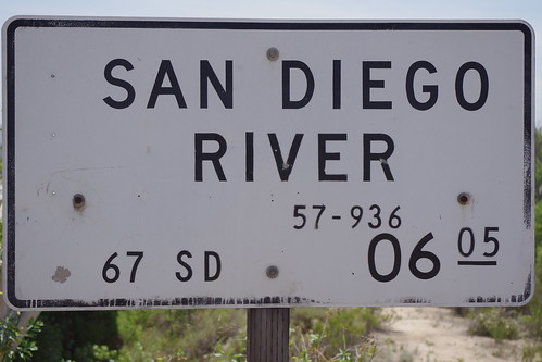
Hwy 52 and 67 Interchange @ El Cajon & Santee California
 |
| Photograph is from July 2014 |
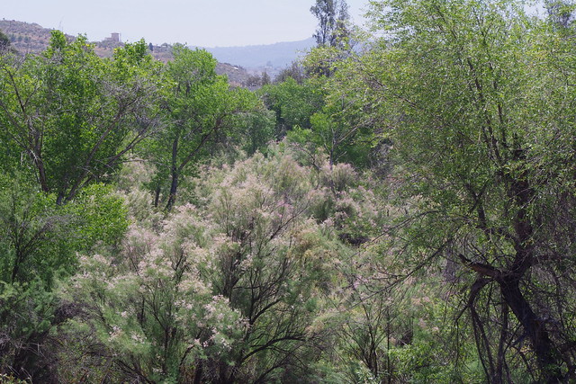
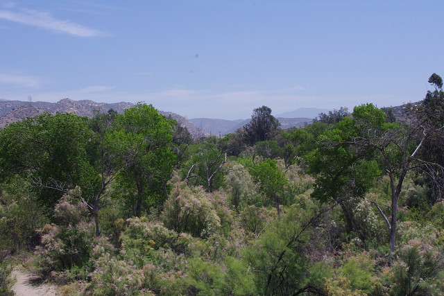
A prime bad example of Government mandates is this photo above of a Cal-Trans Landscaping Project under and around the Interchange on and off ramps of Hwy 52 & Hwy 67 between El Cajon and Santee employing the wrong irrigation techniques which again employ massive Industrial Strength Rainbird arrays. But I was happy to see Native California Plants being used. The idea of using native pants was a good one, but planning and irrigation infrastructure wasn't well thought out ahead of time. Also, I highly doubt any thought to mycorrhizal inoculation of the plants and heavy mulching was done. They'll eventually kill off everything they had set out to accomplish with the Native Plants theme by their excessive watering and overhead sprinklers which only encourage weeds. This area is already overwhelm with not only the annual type weeds, but also invasive Tamarisk everywhere which will outcompete the natives. Here's a link to a post I did on reclaimed water used in municipal projects with this one abve included.
Reclaimed Water: Municipal Projects, CalTrans Landscaping & Pompous Grass Resorts
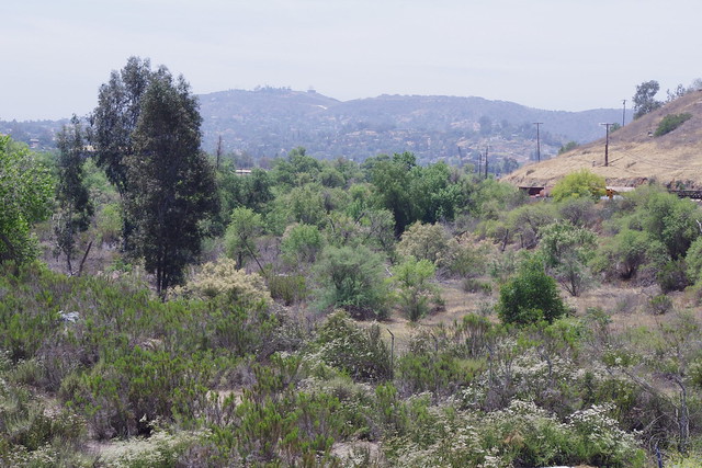
In the Rattlesnake Mountain chain far above this Freeway Interchange where the Sky Ranch Development was established, they have followed the same identical flawed pattern as that of the Cal-Trans Native Plant Landscaping Project. We're talking Mega-Overkill with regards another industrial sized Rainbird Irrigation System which has a double daily watering regimen which has not been changed since the initial installation. The photo to the left here is on the top ridge of the development which buffers between the neighbourhood housing and the wild Conservation No Trespassing protected area. While I applaud the use of Coast Live Oak and other ornamental chaparral shrubs, there are weeds overwhelming the system everywhere, especially in the lower valley near Pepper Drive Elementary School. If they were worried about some naturalized Torrey Pines potentialy causing brushfires and insisted they had to be chopped down to prevent that, then they have almost guaranteed wildfire by the way they have mismanaged the landscape in the conservation area which is mainly weeds.
The really sad part is when Government, which everyone assumes knows better, pulls blunders like this terrible landscape layout in the link above, then the same bad example is followed by a large major commercial Landscaping firms, what chance is there that your average home and/or land owner will ever get the message ? I'm telling you, this simple basic fundamental stuff about nature needs to be taught long before College or even High School level learning. It should be elementary School teaching.
 |
| Image - Google Earth |
Now take a close look at another bad example from the mighty Sky Ranch Housing Development on top of Rattlesnake Mountain in Santee, California. While it is commendable they have established some native Coastal Live Oak trees and one other native chaparral plants, they will ruin it all if they don't change a flawed irrigation system that has existed for over 8 years now. The irrigation here is simply overkill and a huge waste of money.The only way to describe what they have done here in this infrastructure which must costs 10s of 1000s of dollars all over ths mountai from top to bottom is that the plants are all basically in a hospital situtation where everything is on life-support. What happens when you take a human off life-support ??? That's right, usually that decision is a death sentence. Same with plants where biomimicry of how nature establishes ecosystems is totally ignored and rejected in favour of Univerversity science-based recommendations.
Further Interesting Reading:
Juan Bautista de Anza National Historic Trail Historic Resource Study

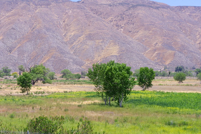
So how does what we've learned about Bajada or Alluvial Fan tree establishment help us further up in elevation with regards ecosystem establishment ??? Take a look at the photo above. This is a single Foothill Pine (Pinus sabiniana) which has ventured out within the rugged landscape of Chamise and Manzanita. From a human standpoint not exactly ideal habitat. Or is it ??? Chamise and it's cousin Redshank are two of the most superior Nurse plants for pines and oaks, but you'll never hear them from the prevailing scientific orthodoxy whose opinion on Chaparral trmups everything else. Chamise is the rugged rangy shrub here on the right. The opinion of most people it they hate it because it's a greedy agreesor. This is a flat out lie.
I'll have a series of posts dealing with Juan Bautista de Anza's Journal and Natural World documentation experiences and divide them into three or four parts. They are seriously important to what nature once was and how it functioned. They were also detailed in such a way as to report on the local Natural resources which were present and potential money making Ventures for the Empires for who these expeditions were funded for in the first place. Anza's description was almost dead on accurate for the region I'll be relating to between Western Arizona all the way to Riverside California. Keep close watch. Side note on Alluvial Basin Water Storage: Arizona Geology Blog.
Aquifer depletion, Arizona alluvial and Black Mesa basins


